FIMAN
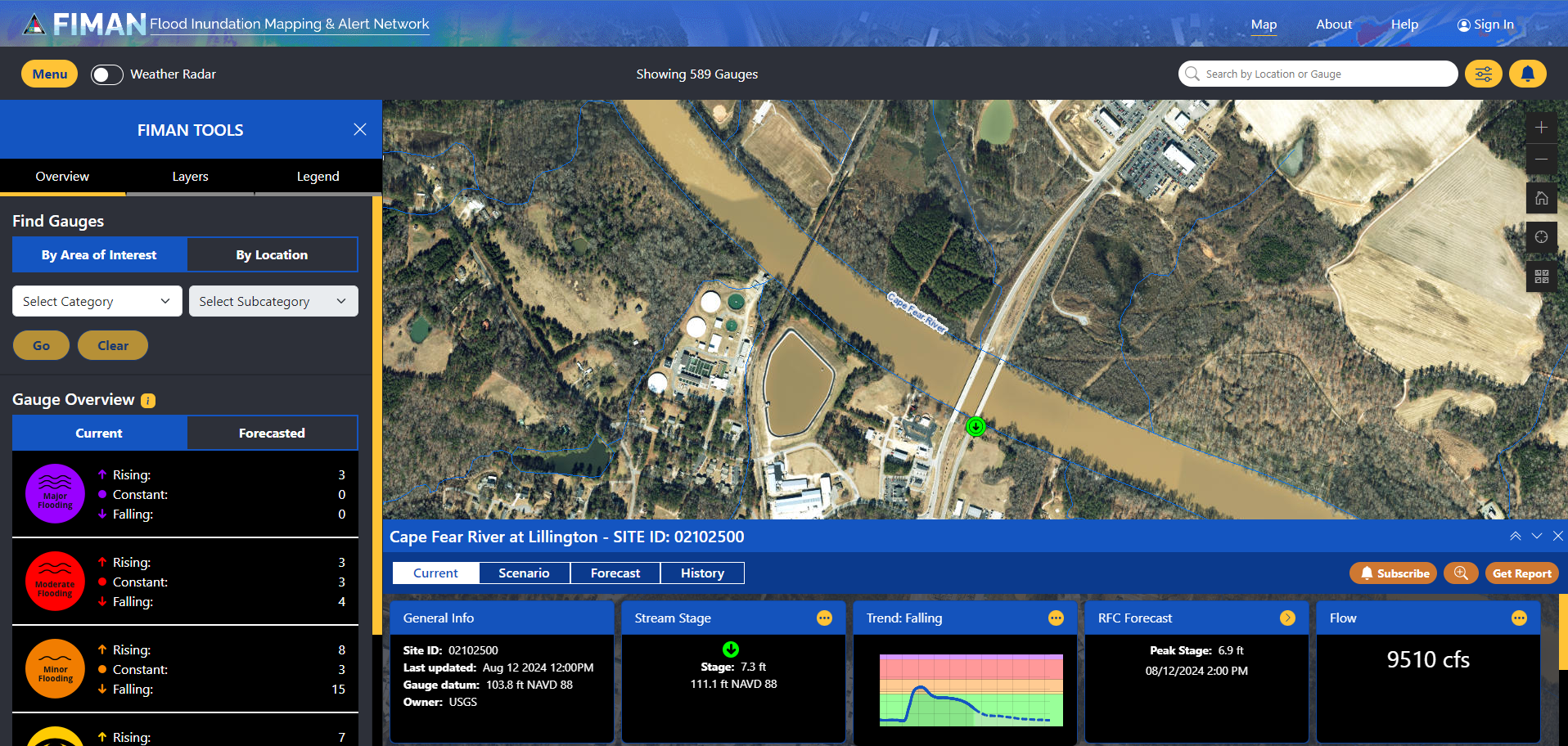
The Flood Inundation Mapping and Alert Network, or FIMAN, is North Carolina’s resource for flood awareness and forecasting. FIMAN displays current and forecasted water levels from hundreds of locations throughout our state’s streams and coasts. At some sites, users can see which locations may be impacted by rising waters and make decisions about flood preparedness and response. Users can also sign up to receive email or text alerts when waters are rising nearby.
Start getting the information you need by zooming to your location, exploring the map, or signing up for flood alerts!

